15. Making use of geographic data
Contents
15.1 Geographic data
Digitalization has brought new ways to present various kinds of information and data on maps. Applications such as Google Maps make it possible to convey various kinds of data on maps. Their functionality is based on geographic data that combines elements of location data (in the form of GPS coordinates) and content data (such as the locations of your school or nearby restaurants).
15.2 How to use Google Maps
 Google Maps is a free tool that can be very useful when studying geography. In this section, we will briefly go through the basic functions of the application.
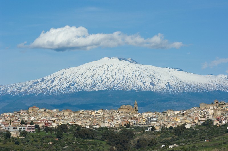
The volcano Etna is located on the Italian island of Sicily. Its imposing slopes are 3 300 meters tall. It is the highest volcano in Europe.
Use Google Maps to study Etna:
- Find the volcano by searching for it in the application.
- Use the mouse wheel or the buttons on the right to zoom in or out. Use the mouse to drag the map in different directions.
- You can use the street view mode to look what the area looks like in real life (by dragging the yellow human-like figure on the bottom right over the map).
- You can change between map and satellite image views by clicking the icon on the bottom left.
15.3 Conducting a study
Cultural geography studies how humans and their societies form and develop in geographic and regional terms. As such a field, the studies of cultural geography can focus on a large variety of subjects.
You can conduct your own cultural geographical study during this course. The studies can be completed alone, in pairs, or in groups. The teacher is responsible for the specific arrangements of the study.
When conducting a study, the steps below are usually followed:
Subjects:
You can conduct your own cultural geographical study during this course. The studies can be completed alone, in pairs, or in groups. The teacher is responsible for the specific arrangements of the study.
When conducting a study, the steps below are usually followed:
| Stage | Example |
| Choosing a subject | Forms of transportation near your school |
| Making a research plan | Going out to monitor the road near your school, and counting the different forms of transportation (cars, buses, bicycles, etc.) for 30 minutes on three separate occasions. |
| Finding and evaluating literature | Finding how forms of transportation have previously been studied in your home town/city. |
| Writing a report | Writing a report that describes 1. How the study was conducted, 2. What were its findings (usually exemplified with visual diagrams, maps, etc.), 3. What was inferred about the subject on the basis of the findings. 4. How the study could be reproduced differently to gain a clearer picture of the studied subject. |
- Forms of transportation on different roads/streets (different groups have different streets)
- The use of recreation areas
- Noise near your school or your home
- Garbage and trash near your school or your home
- Parks near your school or your home
- Bicycle paths and safety near your school or your home
- The ease of use of public transportation in your home area.
15/1. Group submission folder for study reports
Sinulla ei ole tarvittavia oikeuksia lähettää mitään.