15.2 How to use Google Maps
 Google Maps is a free tool that can be very useful when studying geography. In this section, we will briefly go through the basic functions of the application.
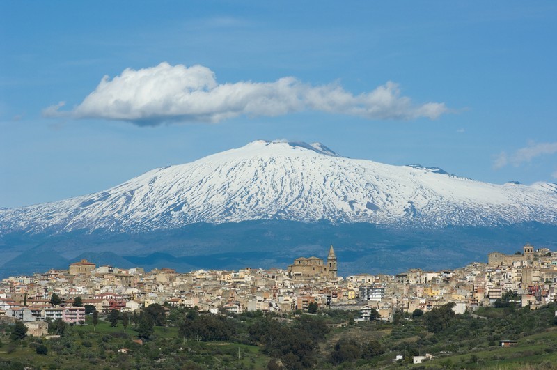
The volcano Etna is located on the Italian island of Sicily. Its imposing slopes are 3 300 meters tall. It is the highest volcano in Europe.
Use Google Maps to study Etna:
- Find the volcano by searching for it in the application.
- Use the mouse wheel or the buttons on the right to zoom in or out. Use the mouse to drag the map in different directions.
- You can use the street view mode to look what the area looks like in real life (by dragging the yellow human-like figure on the bottom right over the map).
- You can change between map and satellite image views by clicking the icon on the bottom left.