10.3 Scales and coordinates
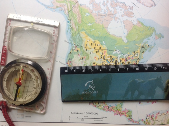
 The scale of a map displays the relation between the map and the real world. Scales are often depicted in the form of a ratio, which tells us how many centimeters or meters in the real world one centimeter on the map displays. For example, the scale of 1:25 000 tells us that one centimeter on the map signifies 25 000 cm or 250 m in the real world. The map in question has a large scale, as it presents a small area in high amount of detail.
National, continental or world maps are small scale maps. They focus on presenting large areas with a small amount of detail. For example, a world map can have a scale of 1:50 000 000, meaning that 1 cm on the map covers 500 kilometers in the real world.
The scale of a map can also be depicted as a bar on the side of the map. The advatange of such a bar scale map is that the scale of the map will remain the same even if it is copied and resized.

Locations on the map are presented by using coordinates. The coordinate system consists of lines of latitude and longitude. The lines of latitude run parallel with the planet's equator, which has a latitude of 0o. The equator divides the planet into northern and southern hemispheres and the latitude coordinates into northern (N) and southern (S) latitudes.
The final lines of latitude are found at the planet's poles, marked with latitudes of 90oN ja 90oS. The lines of longitude, also known as meridians, are divided similarly into eastern (E) and western (W) longitudes. They run parallel to the 0o meridian that runs through Greenwich, London.

A map of the world showing the hemispheres and the coordinate system.
The location of a place can be expressed by presenting its location relative to the coordinate system. When doing this, the latitude of the location is presented before its longitude. For example, the coordinates of the Korvatunturi fell in Lapland are approximately 75o50'22'' N, 57o90'51" E. The degree (o) is the largest coordinate unit, and it can be divided further into minutes (') and seconds (").