1.3 Geomedia skills

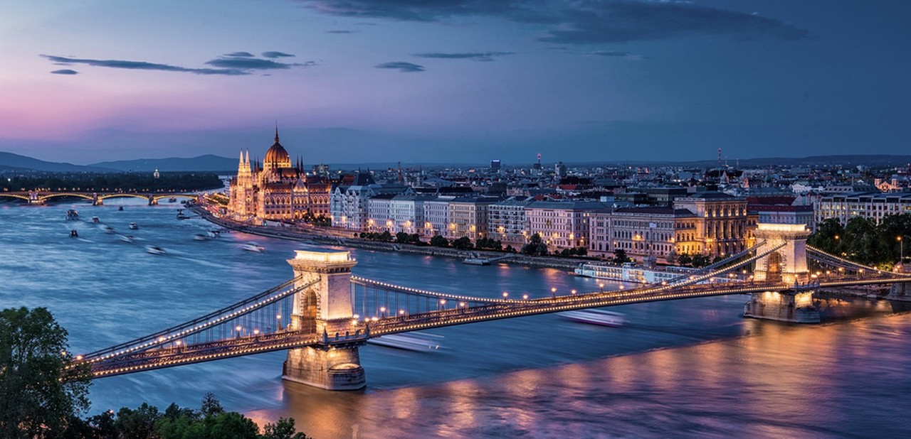
When you look at the above photograph from Budapest, Hungary, you can make various observations and conclusions about the place it depicts. There seems to be a lot of traffic. Large bridges are shown to stretch over the river Danube. The city expands way out into the distance. Boats drudge through the river. Hills can be seen in the distance. The river water looks clayish and brown.
Geography has traditionally been a subject where different geomedia skills are practiced. Geomedia skills include knowing how to read maps, make diagrams and interpret photographs or illustrations. As the world becomes even more technologically dependent, new devices and technological applications replace the old tools and methods. Nowadays, maps are mostly accessed via different internet-based sites and applications, and vast amounts of aerial and satellite imagery give us a wealth of geographic information, as do the GPS trackers in our phones, which can precisely pinpoint our location on the planet.