Coordinates
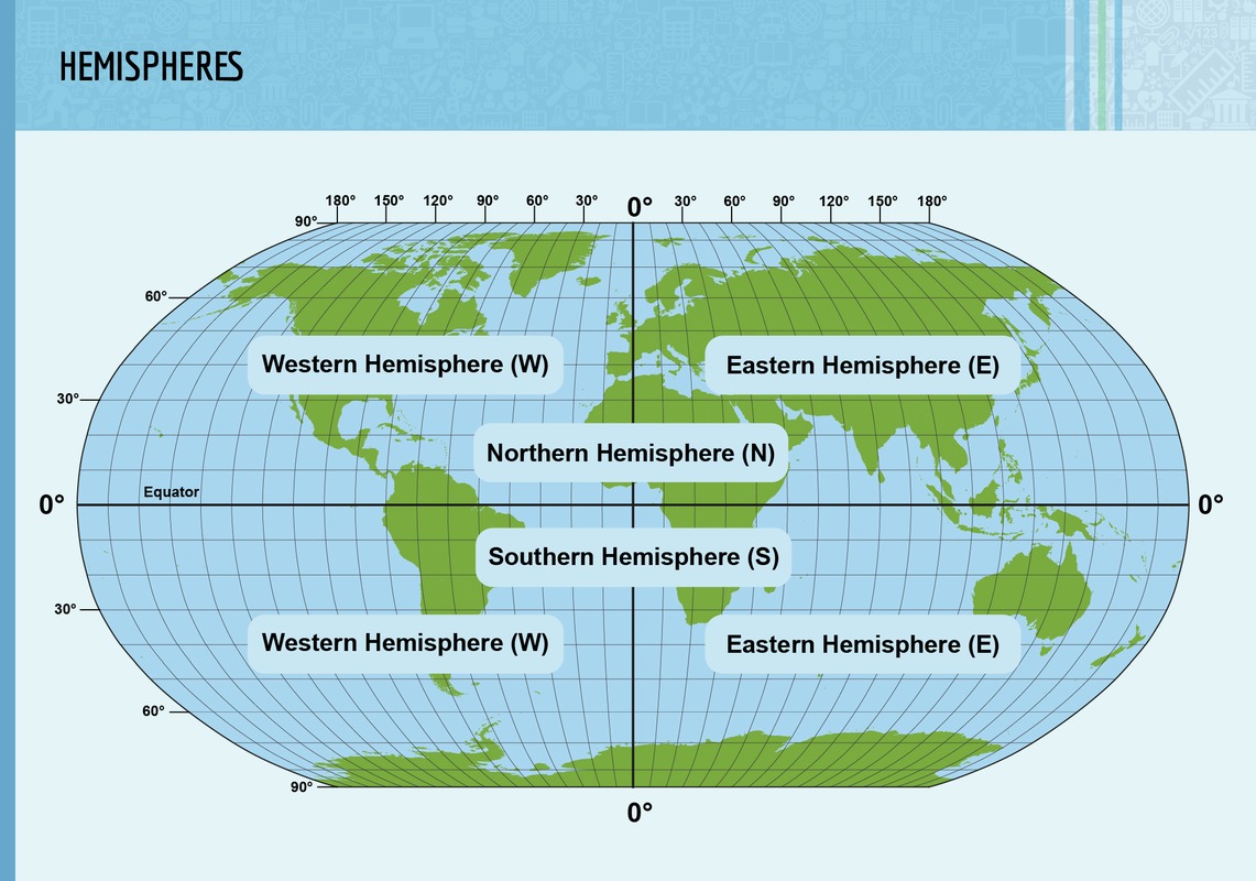
A straight line called the equator runs horizontally through the map of the world. The equator divides the planet into its northern and southern hemispheres. In the northern hemispehere, the day is at its longest during the month of July. In the southern hemisphere, on the other hand, the day is at its longest during the month of december.
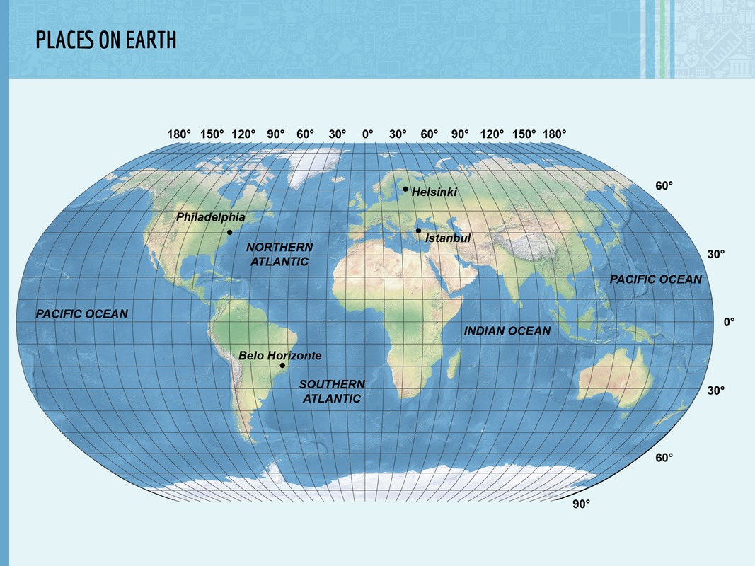
The equator and other lines that run through the map of the world parallel to it are called latitudes. Latitudes can be used to describe where a certain place is located on the planet. For example, the latitude of the Finnish capital city, Helsinki, is 60 degrees North (60° N).
There are also vertical lines running through the map of the world. These lines are called longitudes. The line of zero longitude runs through the British capital city, London, and is also known as the Greenwich meridian. On the opposite side of the planet, you can find the longitude of 180 degrees, which is called the Date Line.

The hemispheres, the equator and the Greenwich meridian.
Like the equator, the Greenwich meridian also divides the planet into two hemispheres. The eastern hemisphere is located to the east of the Greenwich meridian, whereas the western hemisphere is located to the west of it. Together, the lines of latitude and longitude cover the map of the world with a coordinate grid.
The coordinate grid can be used to describe where a certain place is located on the planet. For example, the latitude of Helsinki is 60° N and its longitude is 25° E. In contrast, the longitude of the Brazilian city of Belo Horizonte is 20° S and its longitude is 45° W.
