18. African nations
The map of Africa
Africa is a long continent. It stretches for over three thousand kilometers from the equator in both directions, north and south. The equator itself runs through the middle of the continent. The Tropic of Cancer runs through the northern parts of the continent, whereas the Tropic of Capricorn runs through the southern parts of the continent.

Africa is bordered by the Mediterranean Sea in the north, the Atlantic in the west, and the Indian Ocean in the east.
The African continent consists mostly of highland areas, which are located over hundreds of meteres above sea level. Near the equator, there are lowland areas dominated by rainforest.
There are only a few large lakes in Africa. However, there are a great number of rivers running through the continent.
Africa as seen from space.

When looking at the African continent from space, you can easily distinguish the vast rainforests in deep green. The rainforests are characterized by lush vegetation, which is a result of plenty of rainfall and warmth.
The rainforest is surrounded by areas that are colored in light green. They consist of tropical grassland or savanna. Trees are scarce on the savanna, whereas tall grasses and shrubs are common. Many large mammals, such as lions and elephants, inhabit the African savannas.
Deserts can be seen from space as vast areas of light brown. The northern parts of Africa are dominated by the large Sahara desert. The desert receives so little rain that plant growth is impossible.
Near the shores of the African continent, you can see greenish water. This means that the water contains a large amount of algae. Algae are small, primitive plants that are the food of many fish species. This is why the African coasts are important fishing regions.
African nations

Africa is a large continent. This is why its natural conditions and livelihoods vary greatly.
The African continent is home to almost 50 nations. The borders of many African nations were formed during the colonial era, in the 19th and 20th centuries. During this era, many European nations used parts of Africa as their colonies. The European colonists drew borders between their colonies without regard to the native African population. This is why many African nations are home to tens of different ethnic groups.
The map on the right shows the 22 largest African nations:
1. Sudan, 2. Algeria, 3. Congo, 4. Libya,
5. Chad, 6. Niger, 7. Angola, 8. Mali, 9. South Africa,
10. Ethiopia, 11. Mauritania, 12. Egypt, 13. Tanzania, 14. Nigeria,
15. Namibia, 16. Mozambique, 17. Zambia, 18. Somalia,
19. the Central African Republic, 20. Madagascar, 21. Botswana, 22. Kenya.
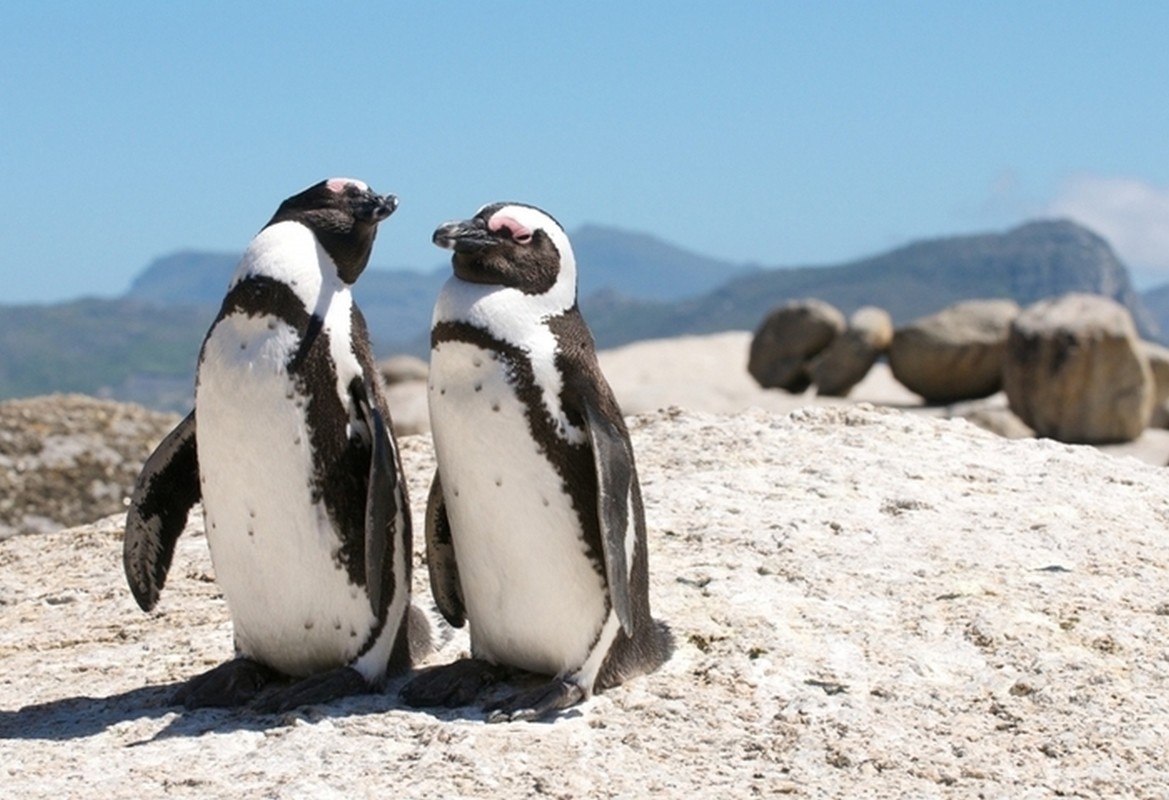
Photographs from Africa


Terminology
| Terminology | Explanation |
|---|---|
| equator | The latitude that divides the planet Earth into two hemispheres. |
| highland | A region that is located over 200 meters above sea level is considered a highland region. |
| livelihood | A way of living, e.g. agriculture. |